Why Does a Stone on Broseley Lane Say "BOUN" on One Side and "DARY" on the Other?
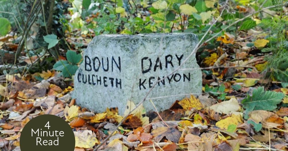
There's a small white stone on the verge of Broseley Lane in Culcheth that most people walk straight past. Stop and look, and one side says "BOUN" while the other says "DARY". You have to walk round it to read the whole word, and there's a good reason for that.
What it looks like.
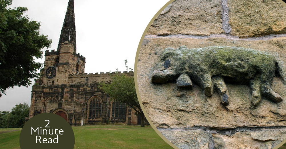
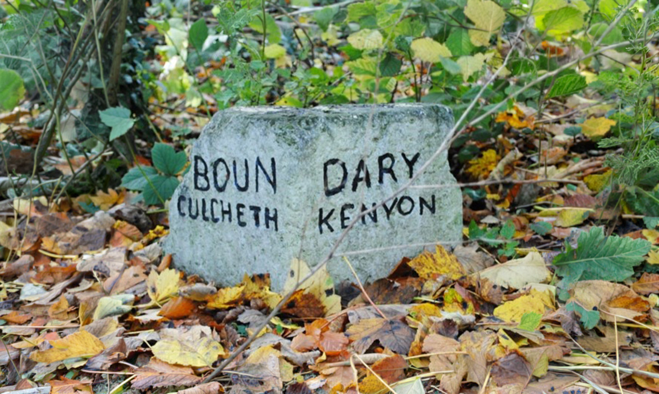
The stone sits on the west side of Broseley Lane, a short walk north-west of the junction with Broseley Avenue. It's sandstone, painted white with black lettering, and only about 35cm tall, so it looks a bit like a miniature milestone. The south face reads "BOUN / CULCHETH" and the north face reads "DARY / KENYON". Put them together and you get "BOUNDARY", with each village's name on its own side of the line.
Kenyon used to be its own place.
These days most people think of Kenyon as part of the Culcheth area, but for centuries it was a separate township with its own boundary. It was part of Lowton until the 1200s, became its own civil parish in 1866, and had a population of just 329 in 1901. Broseley itself, right on the border with Culcheth, was once the main landholding of the Risley family in Kenyon. The parish was abolished in 1933, and today Kenyon falls within Croft parish.
The boundary followed a brook you can't see anymore.
The line between Culcheth and Kenyon ran along the Jibcroft Brook. The brook has since been culverted, which means it now runs through a pipe underground. The stone is one of the few clues left that it was ever there.
It's at least 180 years old.
The stone already appears on the first Ordnance Survey map of the area, surveyed between 1845 and 1847, and it's still in exactly the same spot. Historic England dates it to the early 1800s or earlier. There were once several stones and posts marking the boundary. At least one other survives, built into a wall beside Boundary Cottages on Wigshaw Lane.
Surveyors used it too.
Look at the top and you'll see a mark cut into it. That's an Ordnance Survey bench mark, used by surveyors to record the exact height of the ground above sea level. The stone is shown as a bench mark on the 1893 map, so it was doing two jobs at once.
It only became protected in 2019.
Despite being on maps since the 1840s, the stone wasn't listed until 16 August 2019, when it was given Grade II status. Historic England picked it out because it's still in its original position and the lettering is still easy to read. It hasn't had an entirely easy life, though. The listing notes it's been chipped by mowing machines over the years.
Next time you're on Broseley Lane, it's worth slowing down to find it. It's easy to miss, and it might be the only thing in Culcheth that makes you walk round it to finish reading.